For making informed decisions, we need data. Lots of it. The more the better! No? Well yes, quantitive data matters in a sense that the more data, the better your algorithm can predict future outcomes. But it’s not enough. Quantitive data is more about ‘factual’ data. What’s missing from this equation is why this is being observed. To answer the Why, we need qualitative data.
When asking why-question to a person, the response you’ll get will be more ‘subjective’ of nature instead of the ‘factual’ data when only observing and measuring from a distance. Being able to simply ask people why or what they want/don’t want something has great value. If you want people to change their behaviour, you must know how they ‘think’ or what their motivation is, according to Fogg’s Behaviour Model.
Online surveys
There are different of ways to collect qualitative data. If there’s lot’s of people you would like to interview, then online surveys are very helpful.
For small surveys, you can ask ‘open’ questions where people can respond with short sentences. Open-ended questions gives you more qualitative data, but are harder to process if you must go through more than, let’s say a couple of 100 respondents. Furthermore, ‘open-ended questions’ in online surveys are always text. This limits the ability of processing subjective questions and responses in a structured way. Written text is only one way of communicating. Now imagine asking the following question:
What’s your favourite route to work?
Make note that this question is subjective. You can’t measure it by measuring GPS traces, because you would not know if it is the favourite route he/she takes to work. The respondent could answer in written text by detailing every turn of this route, but this would impose difficulties when processing these kinds of questions on a somewhat larger scale. There is however another way of communicating that can help here…
What if you could draw the answer?
Drawing can be just another way of communicating. Of course, letting people draw answers to subjective questions still doesn’t help in processing the results in a structured and efficient manner. It does however give a new way of capturing interesting information, that’s perhaps easier to convey using drawings than text. Now, let’s step it up a notch…
The question “What is your favourite route to work?” can be answered by letting a user draw on a map. And because a map has a (spatial) reference system attached to it, results from maps can be easily stored and processed in a structured way. Even though this only applies to question related to locations or routes, this opens up a whole new range of asking questions and capturing interesting data.
Please, show me how
The example question from before, “What’s your favourite route to work?” could be part of a mobility survey. A respondent can answer it by free-drawing on a map, or even easier, by using google-maps like technology. Just enter start and finish address, get a route on the map, and tweak the response by dragging the route where it needs to go.
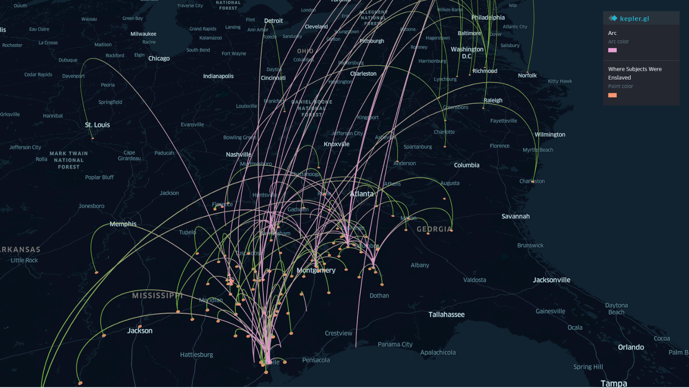
Once the data is captured, you want to process the results for extracting interesting information. For processing location-based data, there already exists a myriad of tools and applications, both free and commercial, such as QGis (free) or Kepler.gl (open-source). These tools allow you to conduct fine-grained spatial analysis on your survey responses.

Use cases
Different use cases come to mind where capturing location and route based data has great value. Mobility surveys were already mentioned. Some examples of other sectors that could benefit from more qualitative data: Real Estate (“Please draw your search area for a new property on the map”), Logistics (“Where did you encounter the most difficult traffic situation when driving your truck from factory X to warehouse Y?“) and Utility sector (“Where did you spot the water-leak?”).
Introducing GeoForms
GeoForms recently launched its first public version, which enables you to ask these kinds of questions to your audience. It’s designed with a clear focus on finding answers to questions that are location and route-based. At the same time, GeoForms makes it easy to export the results to GIS-tools like QGis and Kepler.gl for further fine-grained analysis.
The following clip shows how this process looks like from start-to-finish in the context of a short mobility survey.
We need your opinion!
Ready to try this out for yourself? Or still having questions? Go visit https://geoforms.app. You can create a free account and start experimenting right away. Feedback is highly appreciated. Feel free to reach out on twitter, email, or have a chat on the GeoForms website.
See you there! ✌️
Last modified on 2020-02-13